What Is a Drainage Assessment and Why Do You Need One?
A drainage assessment is a comprehensive evaluation of how water moves across, through, and away from a property. It combines topographic analysis, soil evaluation, and hydrologic observation to identify existing drainage problems and predict future risks. Whether you're a homeowner dealing with a soggy backyard, a buyer evaluating a new property, or a contractor planning a construction project, a professional drainage assessment report provides the intelligence you need to make informed decisions and protect one of your largest investments.
Water is the single most destructive force acting on residential properties. It erodes soil, undermines foundations, saturates landscapes, and creates conditions for mold, structural decay, and pest infestations. Yet most homeowners don't think about drainage until something goes visibly wrong — a flooded basement, a cracked foundation wall, or a yard that stays waterlogged for days after a storm. By that point, the damage is already done, and remediation costs can be staggering. A property drainage analysis is the proactive alternative: understanding your water risks before they become water disasters.
What a Drainage Assessment Actually Involves
A professional drainage inspection service goes far beyond walking a property and looking for puddles. It's a systematic, multi-layered analysis that examines every factor influencing how water interacts with your land. The process typically begins with a review of existing data — topographic maps, soil surveys, flood zone designations, and aerial imagery — before the assessor ever sets foot on the property.
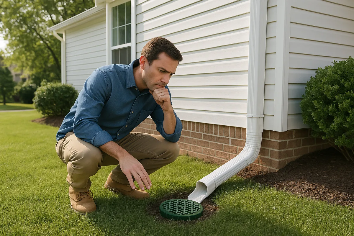
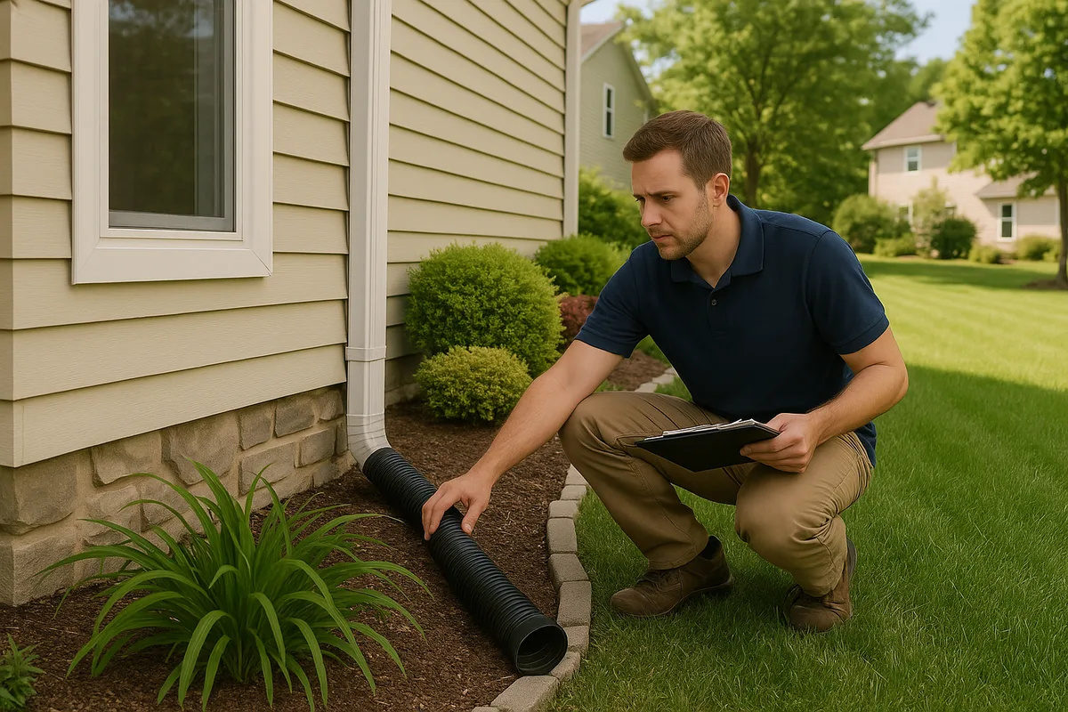
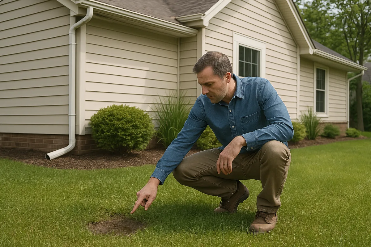
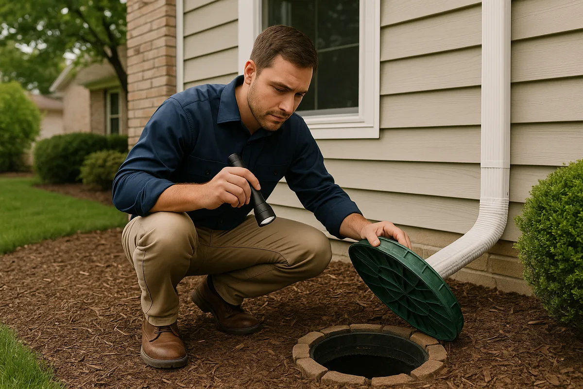
The on-site inspection involves detailed observation and measurement. The assessor evaluates the property's grading and slope, identifies natural and constructed drainage features, inspects downspout and gutter systems, examines the condition of any existing drainage infrastructure (French drains, catch basins, swales, culverts), and notes signs of water damage or erosion. They'll look at the relationship between your property and neighboring parcels, because water doesn't respect property lines.
Advanced drainage assessments incorporate elevation data — sometimes collected via GPS survey equipment, sometimes derived from high-resolution LiDAR datasets available through programs like the USGS 3D Elevation Program. This data allows the assessor to create detailed topographic models of your property, revealing subtle grade changes and low points that are invisible to the naked eye but critical to understanding water flow patterns.
Key Components of a Drainage Assessment Report
A thorough drainage assessment report typically includes the following elements:
- Topographic analysis: A detailed map showing elevation contours, slope percentages, and the direction of surface water flow across the property.
- Low point identification: Precise locations where water naturally collects or pools, including areas where ponding may occur during storm events.
- Flow path mapping: The routes water takes as it moves across the property, from the highest points to the lowest, including off-site contributions from neighboring properties or public rights-of-way.
- Soil evaluation: An assessment of soil type, permeability, and drainage characteristics, which directly affect how quickly water infiltrates versus running off the surface.
- Infrastructure inventory: Documentation of existing drainage features — gutters, downspouts, French drains, dry wells, swales, retention basins, storm sewer connections — and their current condition and capacity.
- Risk assessment: Identification of specific vulnerabilities, such as negative grading toward the foundation, undersized drainage infrastructure, or proximity to flood-prone areas.
- Recommendations: Prioritized, actionable remediation strategies tailored to the property's specific conditions and the homeowner's budget.
What Sets It Apart from a Standard Home Inspection
Many homeowners assume that the drainage evaluation included in a standard home inspection is sufficient. It's not. A typical home inspection devotes perhaps 5 to 10 minutes to grading and drainage, usually limited to a visual check of whether the ground slopes away from the foundation and whether gutters are present and functional. This surface-level review misses the vast majority of drainage risks.
A dedicated property drainage analysis, by contrast, may take several hours on-site and involves quantitative measurements rather than qualitative observations. The assessor isn't just noting that "grading appears adequate" — they're measuring actual slope percentages, calculating runoff volumes for design storm events, evaluating soil infiltration rates, and modeling how water moves across the entire property during different rainfall scenarios. The resulting drainage assessment report is a detailed engineering document, not a checkbox on a general inspection form.
Get Your Drainage Intelligence Report™
Start a free trial and generate reports on demand.
Why Every Property Needs a Drainage Assessment
The case for a drainage assessment rests on a simple reality: water problems are progressive. A minor grading deficiency that causes occasional dampness today can evolve into a major foundation failure over the course of several years. By the time the symptoms become impossible to ignore, the underlying damage may be extensive and expensive to repair.
The True Cost of Poor Drainage
Consider the financial stakes. According to industry data, foundation repair costs in the United States typically range from $5,000 to $15,000 for moderate issues, and can exceed $50,000 for severe structural damage. Basement waterproofing averages $5,000 to $10,000. Mold remediation runs $1,500 to $9,000 for limited areas, and significantly more for widespread contamination. Landscape restoration after erosion damage can cost thousands more.
Now compare those figures to the cost of a professional drainage inspection service, which typically ranges from $300 to $1,500. The return on investment is overwhelming. A drainage assessment doesn't just identify current problems — it reveals developing conditions that haven't yet caused visible damage, giving you the opportunity to intervene early when solutions are simpler and far less expensive.
Foundation Protection
The most critical function of proper drainage is protecting your home's foundation. Every foundation — whether slab-on-grade, crawl space, or full basement — is designed with the assumption that water will be managed and directed away from the structure. When that assumption breaks down, the consequences can be severe.
Hydrostatic pressure builds when water saturates the soil around a foundation, pushing against basement walls with tremendous force. Over time, this pressure causes cracking, bowing, and eventual structural failure. Expansive clay soils compound the problem by swelling when wet and shrinking when dry, creating cyclical stress on foundation walls and footings. A drainage assessment identifies these conditions before they reach critical thresholds.
The widely accepted standard for foundation grading is a minimum slope of 6 inches of fall over the first 10 feet from the foundation — roughly a 5% grade. Many properties fail to meet this standard, especially older homes where soil has settled over time, or properties where landscaping changes have inadvertently altered the original grading. A property drainage analysis measures actual grades and identifies exactly where corrective action is needed.
When You Should Get a Drainage Assessment
While a drainage assessment is valuable at any time, certain situations make it especially critical. Understanding these trigger points helps homeowners prioritize this investment.
Before Buying a Home
A pre-purchase drainage assessment is one of the smartest investments a homebuyer can make. The property you're considering may look perfect on the surface, but hidden drainage deficiencies can turn your dream home into a money pit. Negative grading, inadequate stormwater infrastructure, upstream runoff from neighboring properties, and proximity to seasonal water tables are all risks that a standard home inspection is unlikely to catch.
A drainage assessment report gives you negotiating leverage if problems are found. You can request that the seller address drainage issues before closing, negotiate a price reduction to cover remediation costs, or — in severe cases — walk away from a property that presents unacceptable risk. This information is especially valuable in areas with known water management challenges, such as properties near floodplains, in low-lying areas, or on lots with significant topographic variation.
Before Starting a Construction or Landscaping Project
Any project that alters the surface of your property has the potential to change drainage patterns. Adding a patio, building an addition, installing a driveway, regrading a yard, or even planting large garden beds can redirect water flow in ways that create new problems. A pre-construction drainage assessment establishes a baseline understanding of existing conditions and helps you design your project to maintain or improve drainage performance.
This is particularly important for impervious surface additions. Every square foot of concrete, asphalt, or roofing you add to your property increases the volume and velocity of stormwater runoff. Without proper planning, that additional runoff has to go somewhere — and if it goes toward your foundation, your neighbor's property, or an already-stressed drainage system, the results can be problematic and potentially in violation of local stormwater regulations.
After Experiencing Water Problems
If you've already noticed signs of drainage issues — water pooling in your yard, damp basement walls, erosion along the foundation, musty odors in lower levels, efflorescence on basement walls, or cracks in your foundation — a drainage assessment is urgently needed. These symptoms indicate that water is already causing damage, and the underlying cause needs to be identified and addressed before conditions worsen.
A reactive drainage assessment is also valuable because it helps you avoid wasting money on the wrong solution. Homeowners who try to solve drainage problems without a proper diagnosis often end up installing systems that don't address the root cause. A French drain won't help if the real problem is negative grading. A sump pump won't solve surface water intrusion. A property drainage analysis ensures that your remediation dollars are spent on solutions that actually work.
After Major Weather Events
Severe storms, prolonged rainfall, rapid snowmelt, and other extreme weather events can alter your property's drainage characteristics. Erosion may change surface grades, debris may block drainage paths, soil may compact or shift, and infrastructure may be damaged. If your property experienced unusual water behavior during a major weather event, a post-event drainage assessment can determine whether conditions have changed and whether new risks have emerged.
The Science Behind Property Drainage Analysis
Effective drainage assessment is grounded in hydrology — the science of water movement. Understanding the principles that drive a professional property drainage analysis helps homeowners appreciate the depth and value of the process.
Surface Hydrology and Runoff
When rain falls on a property, it follows one of several paths: it infiltrates into the soil, it evaporates, it's taken up by vegetation, or it runs off the surface. The proportion that becomes runoff depends on rainfall intensity, soil type, ground cover, slope, and antecedent moisture conditions (how wet the ground already was before the rain started).
A drainage assessment quantifies these factors for your specific property. Soil permeability is a critical variable — sandy soils may infiltrate water at rates of 1 inch per hour or more, while dense clay soils may infiltrate as little as 0.05 inches per hour. The NRCS Web Soil Survey classifies soils into four hydrologic soil groups (A through D) based on their runoff potential, and this classification is a fundamental input to any drainage analysis.
Slope is equally important. The minimum recommended grade for drainage away from a foundation is 2% (a quarter inch per foot), though 5% or greater is preferred for the first 10 feet. Beyond the immediate foundation zone, even gentle slopes of 1% to 2% are sufficient to move water, provided the surface is reasonably smooth and free of obstructions. A drainage assessment maps these slopes across your entire property, identifying areas where water moves efficiently and areas where it stalls or reverses direction.
Subsurface Hydrology and Water Tables
Not all water problems are visible on the surface. Subsurface water — groundwater, perched water tables, and seasonal high water tables — can create significant issues for foundations, basements, and crawl spaces even when surface drainage appears adequate.
A comprehensive drainage assessment considers subsurface conditions. Soil borings or probe tests may be conducted to determine the depth to the water table and identify impermeable layers that could trap water near the foundation. In areas with known high water tables, the assessment may recommend subsurface drainage systems such as footing drains, curtain drains, or sump pump installations.
Design Storm Analysis
Professional drainage assessments don't just evaluate how your property handles a typical rainstorm — they analyze performance under design storm conditions. A design storm is a standardized rainfall event used for engineering calculations, defined by its intensity, duration, and recurrence interval (how often a storm of that magnitude is expected to occur).
For residential drainage, common design storms include the 10-year, 24-hour event (a storm so intense that it's expected to occur, on average, once every 10 years) and the 100-year event (once every 100 years, or a 1% chance in any given year). The specific rainfall depths for these events vary significantly by location — a 100-year storm might deliver 6 inches of rain in parts of the arid West but 12 inches or more in the Gulf Coast region.
By modeling your property's drainage performance under these design storm scenarios, an assessor can identify vulnerabilities that wouldn't be apparent during normal weather conditions. Your drainage may work fine during a routine half-inch rain event but fail catastrophically during a 3-inch downpour — and it's those failure scenarios that cause the most damage.
What a Drainage Assessment Report Looks Like
The deliverable from a professional drainage inspection service is a detailed written report, typically accompanied by maps, photographs, and diagrams. Understanding what to expect helps homeowners evaluate the quality and completeness of the assessment they receive.
Site Documentation
The report begins with thorough documentation of existing conditions. This includes a site plan showing the property boundaries, structures, paved surfaces, landscaping, and natural features. Photographs document current conditions, including any visible signs of drainage problems such as erosion, staining, efflorescence, standing water, or damaged infrastructure.
Topographic information is presented as a contour map or a color-coded elevation model, showing the high and low points of the property and the direction of surface water flow. Flow arrows or flow path diagrams illustrate how water moves across the site during rain events, highlighting areas of concentration, divergence, and potential conflict.
Problem Identification
The core of the drainage assessment report is a detailed analysis of identified problems and risk factors. Each issue is described in specific terms — not just "poor drainage in backyard" but "negative grade of -1.5% directing surface runoff toward the northwest corner of the foundation, with an estimated contributing drainage area of 2,400 square feet." This level of specificity is essential for designing effective solutions.
Problems are typically categorized by severity and urgency. Critical issues — those posing immediate risk to the foundation or structure — are distinguished from moderate concerns and minor maintenance items. This prioritization helps homeowners allocate resources effectively, addressing the most dangerous conditions first while planning for less urgent improvements over time.
Remediation Recommendations
The recommendations section translates the assessment findings into actionable solutions. A quality drainage assessment report doesn't just tell you what's wrong — it tells you exactly what to do about it, with sufficient detail to obtain contractor bids or, for simpler projects, to guide DIY implementation.
Recommendations might include regrading specific areas to achieve proper slope, installing or extending downspout discharge lines, constructing French drains or curtain drains, building swales or berms to redirect surface flow, adding dry wells or rain gardens for on-site infiltration, or repairing or replacing failed drainage infrastructure. Each recommendation includes the rationale (why it's needed), the expected outcome (what it will accomplish), and a general cost range to help with budgeting.
Common Drainage Problems Revealed by Assessments
Years of conducting property drainage analyses have revealed a consistent set of problems that appear across residential properties of all ages, sizes, and locations. Recognizing these common issues helps homeowners understand what a drainage assessment might uncover on their own property.
Negative Grading
Negative grading — where the ground slopes toward the foundation rather than away from it — is the single most common drainage deficiency found in residential assessments. It occurs when soil settles over time, when landscaping changes alter original grades, when additions or hardscape installations create grade conflicts, or when the original grading was simply inadequate.
Even a slight negative grade can channel significant water toward the foundation over time. A 1% reverse slope across a 20-foot section of yard may not look like much, but during a moderate rain event, it can direct hundreds of gallons of water against the foundation wall. A drainage assessment identifies these subtle but dangerous grade reversals with precision measurements.
Disconnected or Inadequate Downspout Systems
Roof runoff is one of the largest sources of concentrated water on a residential property. A typical 2,000-square-foot roof generates approximately 1,250 gallons of runoff from just one inch of rainfall. If that water is deposited at the base of the foundation — through missing downspout extensions, disconnected underground discharge lines, or splash blocks that have shifted — it creates exactly the saturated conditions that cause foundation damage.
A drainage assessment evaluates the entire roof drainage system, from gutters to final discharge point. The assessor verifies that downspouts are connected, that discharge lines are intact and flowing freely, and that the discharge points are located far enough from the foundation (a minimum of 6 feet, with 10 feet or more preferred) to prevent water from migrating back toward the structure.
Impervious Surface Runoff
Driveways, patios, walkways, and other impervious surfaces generate 100% runoff — every drop of rain that falls on them becomes surface water that must be managed. When these surfaces are graded toward the house, or when they lack adequate edge drainage, they can channel large volumes of water toward the foundation or into areas where it pools and saturates the soil.
This problem is especially common on properties where hardscape has been added incrementally over the years without considering the cumulative impact on drainage. Each individual project may have seemed harmless, but the combined effect of a widened driveway, a new patio, and a concrete walkway may have dramatically increased the total runoff volume while simultaneously eliminating the permeable surfaces that previously absorbed it.
Upstream Runoff from Neighboring Properties
Your property doesn't exist in hydrologic isolation. Water flows downhill, and if your lot sits lower than neighboring properties, you may be receiving significant runoff from off-site sources. This is a particularly frustrating problem because it's often outside the homeowner's direct control — you can't regrade your neighbor's yard.
A drainage assessment identifies upstream contributing areas and quantifies the volume of off-site runoff your property receives. This information is essential for designing drainage solutions that are properly sized to handle not just the rain that falls on your lot, but the additional water that flows onto it from surrounding properties. In some cases, the assessment may reveal that the off-site runoff volume is so large that on-site solutions alone are insufficient, and coordination with neighbors or the municipality is necessary.
Failed or Undersized Drainage Infrastructure
Many properties have existing drainage systems — French drains, catch basins, underground pipes, dry wells — that were installed years or decades ago. Over time, these systems can fail due to pipe collapse, root intrusion, sediment accumulation, or simple age-related deterioration. In other cases, the original system may have been undersized for the actual drainage demands of the property, particularly if impervious surfaces have been added since installation.
A drainage assessment evaluates existing infrastructure through visual inspection, flow testing, and — when necessary — camera inspection of underground pipes. The assessor determines whether existing systems are functional, whether they have adequate capacity for current conditions, and whether repair, replacement, or supplementation is needed.
How Technology Is Transforming Drainage Assessments
The drainage assessment field has evolved dramatically in recent years, driven by advances in remote sensing, data analysis, and mapping technology. These tools enable a level of precision and insight that was previously available only for large-scale engineering projects.
LiDAR and High-Resolution Elevation Data
Light Detection and Ranging (LiDAR) technology has revolutionized topographic analysis. LiDAR surveys, many of which are publicly available through government programs, provide elevation data with vertical accuracy measured in centimeters. This data can reveal subtle grade changes, micro-depressions, and flow paths that are completely invisible during a traditional visual inspection.
At Low Point Labs, we leverage high-resolution elevation data to create detailed topographic models of residential properties. These models allow us to identify low points, calculate slope percentages, map flow paths, and delineate drainage areas with a precision that manual surveying alone cannot match. The result is a drainage assessment report grounded in quantitative data rather than subjective observation.
GIS-Based Analysis
Geographic Information System (GIS) technology allows drainage assessors to integrate multiple data layers — topography, soil type, land cover, flood zones, infrastructure, and more — into a unified analytical framework. This multi-layered approach reveals relationships and patterns that would be impossible to identify by examining each factor in isolation.
For example, GIS analysis might reveal that a property's drainage problem is caused by the intersection of three factors: a subtle low point in the topography, a band of low-permeability clay soil, and a recently added patio that redirects runoff toward the low point. Each factor alone might seem insignificant, but their combination creates a persistent ponding problem that's damaging the foundation. This kind of integrated analysis is the hallmark of a modern, technology-driven property drainage analysis.
Predictive Modeling
Advanced drainage assessments go beyond documenting current conditions to predict future performance. Hydrologic modeling software can simulate how a property will respond to different rainfall scenarios, including extreme events that may not have occurred during the assessment period. These models can also evaluate the effectiveness of proposed remediation strategies before they're implemented, ensuring that solutions will perform as intended.
Predictive modeling is particularly valuable in the context of changing precipitation patterns. Many regions are experiencing more intense rainfall events than historical averages would suggest, and drainage systems designed for past conditions may be inadequate for future demands. A forward-looking drainage assessment accounts for these trends and recommends solutions with appropriate safety margins.
How to Choose a Drainage Assessment Provider
Not all drainage inspection services are created equal. The quality, depth, and usefulness of a drainage assessment report varies significantly depending on the provider's expertise, methodology, and technology. Here's what to look for when selecting a provider.
Qualifications and Experience
Look for providers with specific expertise in hydrology, drainage engineering, or related fields. While general home inspectors may offer drainage add-on services, they typically lack the specialized knowledge and tools needed for a comprehensive property drainage analysis. Ideal providers have backgrounds in civil engineering, environmental science, geotechnical engineering, or landscape architecture, with specific experience in residential drainage.
Ask about the provider's methodology. Do they use elevation data and topographic modeling, or rely solely on visual observation? Do they evaluate soil conditions? Do they analyze design storm performance? Do they provide quantitative measurements of slopes and drainage areas, or just qualitative descriptions? The answers to these questions will tell you a lot about the depth and reliability of the assessment you'll receive.
Report Quality
Request a sample report before committing. A quality drainage assessment report should include detailed maps and diagrams, specific measurements and calculations, clear problem descriptions with supporting evidence, prioritized recommendations with cost estimates, and professional formatting that makes the information accessible and actionable.
Beware of providers who deliver a one-page summary or a simple checklist. A meaningful drainage assessment generates a substantial document — typically 10 to 30 pages for a standard residential property — because there's simply too much information to convey in a shorter format. The report should be detailed enough to serve as a guide for remediation contractors and a reference document for future property decisions.
Technology and Data Sources
Modern drainage assessment providers leverage technology to deliver more accurate, comprehensive, and useful results. Ask whether the provider uses LiDAR data, GIS analysis, or hydrologic modeling software. These tools don't replace field observation — they enhance it, providing a level of precision and analytical depth that manual methods alone cannot achieve.
At Low Point Labs, we combine cutting-edge topographic intelligence with boots-on-the-ground expertise to deliver drainage assessments that are both data-rich and practically actionable. Our approach integrates high-resolution elevation data, soil survey information, flood zone mapping, and on-site observation into a unified analysis that gives homeowners a complete picture of their property's drainage performance.
Taking Action: From Assessment to Solution
A drainage assessment report is only valuable if it leads to action. The best assessment in the world won't prevent water damage if the recommendations sit in a drawer. Here's how to translate assessment findings into effective drainage solutions.
Start with the highest-priority items identified in the report. Critical issues that pose immediate risk to the foundation or structure should be addressed first, even if they're the most expensive to fix. Foundation damage is progressive — every month of delay allows conditions to worsen and costs to escalate.
For moderate-priority items, develop a phased implementation plan. You don't have to do everything at once. Many drainage improvements can be implemented incrementally over months or years, with each phase building on the previous one. Your drainage assessment report should provide enough detail to support this kind of phased approach.
Get multiple bids from qualified contractors for any work you can't do yourself. Use the drainage assessment report as the scope document — it should contain sufficient detail for contractors to provide accurate estimates without needing to perform their own site analysis. Compare bids not just on price but on the contractor's understanding of the drainage principles involved and their proposed approach to solving the identified problems.
Finally, plan for ongoing monitoring. Drainage conditions change over time due to soil settlement, landscape growth, infrastructure aging, and changes to neighboring properties. A drainage assessment provides a baseline snapshot, but periodic re-evaluation ensures that your property's drainage performance remains adequate as conditions evolve.
Understanding how water interacts with your property is the foundation of responsible homeownership. A professional drainage assessment report transforms uncertainty into clarity, giving you the specific, actionable intelligence you need to protect your home, your landscape, and your investment. At Low Point Labs, we specialize in exactly this kind of topographic drainage intelligence — turning complex hydrologic data into clear, practical guidance that homeowners can act on with confidence. If you're ready to understand what water is really doing on your property, explore our drainage assessment services and take the first step toward lasting protection.
Get Your Drainage Intelligence Report™
Start a free trial and generate reports on demand.
Frequently Asked Questions
Related Articles
How to Diagnose Yard Drainage Problems on a Site Walk
How to Identify Hidden Drainage Failures Before They Become Expensive