What Is Flow Accumulation and Why It Matters for Your Property's Drainage
Every drop of rain that falls on your property has to go somewhere. It follows the path of least resistance — rolling downhill, gathering momentum, merging with other trickles, and eventually concentrating into streams of water that can erode soil, saturate foundations, and flood low-lying areas. Understanding exactly where that water goes isn't guesswork anymore. Flow accumulation drainage analysis is the science of mapping every potential water path across a landscape, revealing the invisible rivers that form during every rainstorm.
For decades, hydrologists and civil engineers have used flow accumulation models to design infrastructure, predict flooding, and manage watersheds. Today, this same powerful technology is accessible at the residential scale, giving homeowners and contractors precise intelligence about how terrain directs water across individual properties. Whether you're troubleshooting a wet basement, planning a French drain installation, or evaluating a property before purchase, understanding flow accumulation transforms drainage from a reactive problem into a proactive strategy.
Understanding Flow Accumulation: The Core Concept
Flow accumulation is a computational method that calculates how many upstream cells — or how much upstream area — drain through each point on a terrain surface. In simpler terms, it answers a fundamental question for every square foot of ground: how much water flows through this exact spot?
Imagine standing on your property during a heavy rainstorm and watching the water move. Some areas see barely a trickle — the high points, ridgelines, and crowns of your yard. Other areas become rushing channels where water from dozens or hundreds of upstream points converges. Flow accumulation quantifies this behavior mathematically, assigning every point on the landscape a value that represents the total contributing area draining to it.
A point at the top of a hill might have a flow accumulation value of zero — no upstream area drains to it. A point at the bottom of a natural swale might have a value representing thousands of square feet of contributing area. The higher the flow accumulation value, the more water concentrates at that location during rainfall events. These high-accumulation zones are precisely where drainage problems occur: erosion channels form, soil stays saturated, basements leak, and standing water persists.
The beauty of flow accumulation analysis is that it reveals drainage patterns that aren't always visible to the naked eye. Subtle grade changes of just a few inches can redirect significant volumes of water. A barely perceptible swale running across your backyard might be concentrating runoff from your entire lot — and your neighbor's lot — directly toward your foundation. Without computational analysis of the terrain, these patterns remain hidden until they cause damage.
Get Your Drainage Intelligence Report™
Start a free trial and generate reports on demand.
How D8 Flow Accumulation Works: The Algorithm Behind the Map
The most widely used method for computing flow accumulation is the D8 algorithm (Deterministic Eight-Node), and understanding how D8 flow accumulation works gives you insight into why these drainage models are so reliable. The D8 method was formalized by researchers in the late 1980s and remains the industry standard for hydrologic terrain analysis.
Here's how D8 flow accumulation explained in practical terms works: the algorithm operates on a digital elevation model (DEM) — a grid of elevation values where each cell represents a small square of ground. For every cell in the grid, the algorithm examines its eight neighbors (the cells directly adjacent and diagonally adjacent) and determines which neighbor has the steepest downhill slope. Water is then assigned to flow entirely into that single steepest-descent neighbor.
Step 1: Build the Flow Direction Grid
The first computational step creates a flow direction grid. Each cell gets assigned one of eight possible flow directions (north, northeast, east, southeast, south, southwest, west, northwest) based on which neighboring cell represents the steepest downhill path. Think of it as placing a tiny arrow on every square foot of your property, each arrow pointing the direction water would naturally flow from that spot.
Step 2: Resolve Flat Areas and Depressions
Real terrain data contains flat areas (where no neighbor is lower) and depressions or sinks (where all neighbors are higher). These create problems for flow routing because water has nowhere to go. The algorithm handles these through "filling" — raising the elevation of sink cells until water can spill out — or through more sophisticated methods that route flow across flat areas toward the nearest downhill edge. This preprocessing step is critical because even small data artifacts can create false sinks that disrupt the entire drainage network.
Step 3: Accumulate Flow
Once every cell has a flow direction, the algorithm traces flow paths from every cell downstream, counting how many upstream cells contribute flow to each point. The process starts at the ridgelines (cells with zero upstream contributors) and works downhill. Each cell's accumulation value equals the sum of all cells that eventually drain through it. The result is a flow accumulation grid where values range from zero (ridgelines and high points) to potentially millions (major drainage channels).
Why D8 Dominates Residential Drainage Analysis
While more advanced algorithms exist — D-infinity (which distributes flow proportionally between the two steepest downhill neighbors), multiple flow direction (MFD), and others — D8 remains the workhorse for residential drainage modeling terrain analysis. Its single-direction flow assignment creates clean, well-defined drainage networks that are easy to interpret and directly actionable. For the slopes and terrain features typical of residential lots (2% to 15% grades, defined swales, graded surfaces), D8 produces highly accurate results that match real-world water behavior.
Why Flow Accumulation Matters for Residential Properties
For homeowners, flow accumulation analysis isn't an abstract academic exercise — it's the most direct way to understand drainage risk. Here's why this matters at the property scale.
Identifying Concentrated Flow Paths
The single most valuable output of flow accumulation analysis is the identification of concentrated flow paths — the lines across your property where water volume is highest. These paths often don't align with where homeowners expect water to flow. A property might appear to slope uniformly away from the house, but flow accumulation analysis can reveal that subtle terrain features are channeling water from a large contributing area directly toward a vulnerable corner of the foundation.
Concentrated flow paths with high accumulation values are where you'll find the most severe drainage problems: soil erosion, saturated ground, hydrostatic pressure against foundation walls, and surface flooding. Knowing exactly where these paths run — down to the foot — allows for targeted, cost-effective drainage interventions rather than expensive whole-yard regrading.
Quantifying Contributing Drainage Area
Flow accumulation doesn't just show you where water goes — it tells you how much. By calculating the contributing area upstream of any point, you can estimate the volume of runoff that point must handle during a design storm. This is essential for sizing drainage infrastructure correctly.
For example, if flow accumulation analysis reveals that 4,000 square feet of impervious and semi-pervious surface drains to a single point near your foundation, you can calculate that a 1-inch rainfall event delivers approximately 2,500 gallons of water to that location. That's a very different engineering challenge than if only 500 square feet contributes to that same point. Undersized drains, inadequate swales, and overwhelmed gutters are almost always the result of not understanding the true contributing area — and flow accumulation provides that number with precision.
Revealing Off-Property Water Sources
One of the most common and frustrating drainage problems homeowners face is water that originates on neighboring properties. Your yard might be perfectly graded, but if you sit at the bottom of a larger drainage area, you're receiving runoff from uphill neighbors, streets, or undeveloped land. Flow accumulation analysis that extends beyond your property boundaries reveals these off-property contributions, which is critical for designing drainage solutions that actually work.
Without this broader view, homeowners often install drainage systems that are undersized because they only accounted for on-property runoff. A French drain designed to handle your roof and yard runoff will fail if it's also receiving concentrated flow from two acres of uphill terrain that the analysis would have revealed.
The Data Behind the Model: Elevation Sources and Resolution
Flow accumulation analysis is only as good as the elevation data it's built on. The quality and resolution of the digital elevation model (DEM) directly determines how accurately the drainage model reflects reality.
LiDAR: The Gold Standard
Light Detection and Ranging (LiDAR) data provides the highest-resolution elevation models available for most of the United States. LiDAR-derived DEMs typically offer 1-meter (approximately 3.3-foot) resolution with vertical accuracy of 10-15 centimeters. At this resolution, the data captures subtle terrain features that control residential drainage: shallow swales, driveway crowns, raised garden beds, and foundation grading.
The USGS 3D Elevation Program (3DEP) has been systematically collecting LiDAR data across the country, with the goal of complete national coverage. Much of this data is freely available through the USGS 3DEP program and provides an excellent foundation for drainage modeling terrain analysis at the residential scale.
Resolution Matters: Why 30-Meter DEMs Fall Short
Older elevation datasets, such as the USGS 30-meter (approximately 100-foot) National Elevation Dataset, are too coarse for residential drainage analysis. A single 30-meter cell covers roughly 10,000 square feet — larger than many residential lots. At this resolution, the subtle 2-4 inch grade changes that direct water toward or away from a foundation are completely invisible. Flow accumulation models built on 30-meter data can identify regional drainage patterns but cannot resolve property-scale flow paths.
For meaningful residential drainage intelligence, you need elevation data at 1-meter resolution or finer. Some municipalities and counties have commissioned 0.5-meter or even 0.25-meter LiDAR surveys that capture extraordinary terrain detail. When available, this ultra-high-resolution data produces flow accumulation models that can identify drainage issues at the level of individual downspout discharge points.
Ground-Truthing and Data Currency
Even the best LiDAR data has limitations. It captures terrain at a single point in time, meaning any grading, construction, or landscaping changes made after the data collection date won't be reflected. Trees and vegetation can also introduce noise, though modern LiDAR processing algorithms do an excellent job of filtering vegetation to produce "bare earth" elevation models.
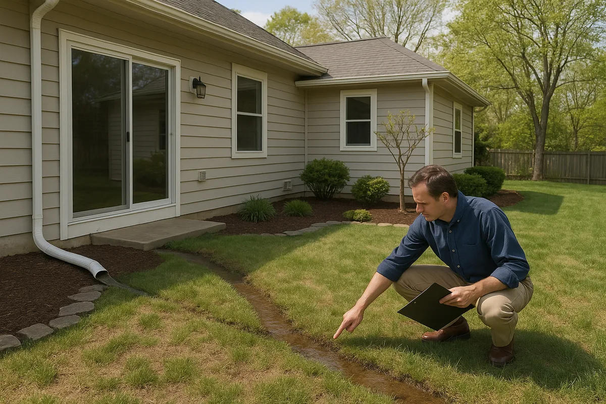
This is why flow accumulation analysis should ideally be paired with field verification. The computational model identifies where problems are likely to occur; site inspection confirms whether those predicted patterns match current conditions. At Low Point Labs, we combine high-resolution terrain modeling with practical drainage intelligence to deliver actionable results.
Reading a Flow Accumulation Map: What the Patterns Tell You
A flow accumulation map can look intimidating at first glance — a complex web of lines and color gradients overlaid on your property. But once you understand what you're looking at, these maps become remarkably intuitive and incredibly useful.
High-Value Cells: Your Drainage Hotspots
Cells with high flow accumulation values appear as prominent lines on the map, typically rendered in darker or warmer colors. These represent the primary drainage channels across your property — the paths where the most water concentrates. On a residential lot, you might see 3-5 major flow accumulation lines, each representing a distinct drainage pathway.
Pay special attention to where these high-accumulation lines intersect with structures. A major flow path that crosses your foundation wall, runs along the edge of your patio, or converges at your driveway-garage junction is a red flag for water intrusion, erosion, or structural damage. These intersection points should be the primary targets for drainage improvements.
Low-Value Cells: Ridgelines and Drainage Divides
Cells with zero or very low flow accumulation values indicate ridgelines and drainage divides — the high points that separate one drainage path from another. On a residential lot, these might correspond to the crown of your driveway, the peak of a berm, or the high point of your yard's grading. These features are critically important because they determine which direction water flows.
A drainage divide that runs along the back edge of your property, for example, means that water falling behind that line flows away from your house — a desirable condition. But if that divide shifts (due to settling, fill placement, or neighbor regrading), water that previously drained away could suddenly flow toward your foundation. Flow accumulation analysis makes these divides visible and measurable.
Convergence Points: Where Problems Concentrate
Look for locations where multiple flow accumulation lines converge into a single path. These convergence points experience the highest water volumes and velocities on your property. They're the locations most susceptible to erosion, and they're where drainage infrastructure (catch basins, channel drains, French drains) will have the greatest impact.
Convergence points near structures are especially concerning. If three separate flow paths merge at the corner of your foundation, that corner is receiving water from a much larger contributing area than any single flow path would suggest. This is precisely the type of insight that drainage modeling terrain analysis provides and that visual inspection alone often misses.
Diffuse Flow vs. Channelized Flow
Flow accumulation maps also reveal the transition from diffuse flow (sheet flow across broad surfaces) to channelized flow (concentrated in defined paths). This transition typically occurs within 50-100 feet of ridgelines on residential properties. Understanding where this transition happens matters because the two flow types require different management strategies. Sheet flow can be managed with proper grading and surface materials; channelized flow requires defined conveyance structures like swales, pipes, or lined channels.
Practical Applications: Using Flow Accumulation for Drainage Solutions
Understanding flow accumulation is valuable, but applying it to solve real drainage problems is where this analysis truly pays off. Here are the most impactful ways flow accumulation data drives better drainage decisions.
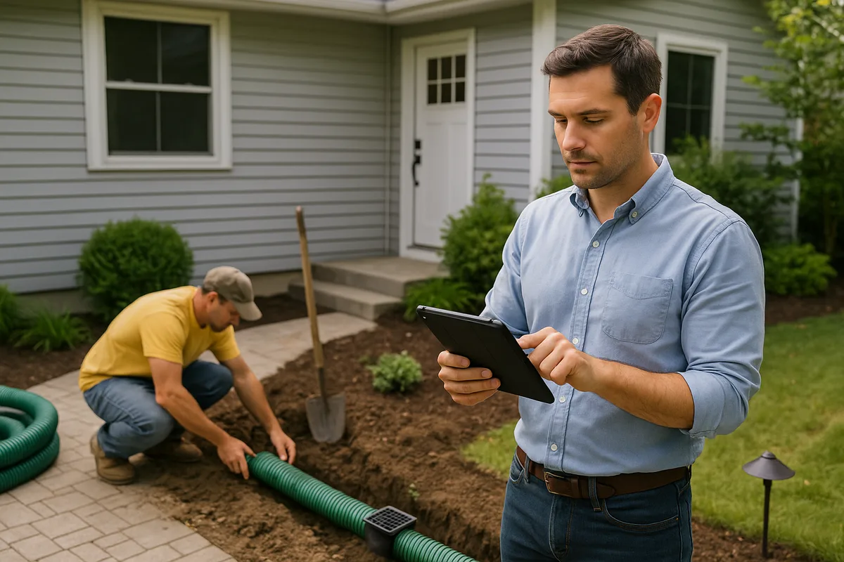
Optimizing French Drain Placement
French drains are one of the most common residential drainage solutions, but their effectiveness depends entirely on placement. A French drain installed along the wrong side of the house, or at the wrong depth, or perpendicular to the actual flow path will underperform or fail entirely.
Flow accumulation analysis shows you exactly where to intercept concentrated flow paths. The ideal French drain placement is perpendicular to the highest-accumulation flow lines, positioned far enough uphill from the protected structure to capture water before it reaches the foundation. The analysis also reveals the contributing area draining to the proposed drain location, which determines the required drain capacity — pipe diameter, gravel volume, and length.
Designing Effective Swales
Swales — shallow, vegetated channels designed to convey water — must be aligned with natural flow paths to function properly. Fighting the terrain by routing a swale against the natural grade is a recipe for failure. Flow accumulation maps provide the template for swale alignment: follow the high-accumulation lines, and your swale will work with gravity rather than against it.
The accumulation values also help determine swale dimensions. A swale intercepting flow from 2,000 square feet of contributing area needs to be significantly smaller than one handling 15,000 square feet. Using flow accumulation data to size swales prevents both undersizing (which leads to overtopping and erosion) and oversizing (which wastes money and yard space).
Evaluating Grading Effectiveness
After regrading a property, flow accumulation analysis can verify that the new grades actually achieve the intended drainage patterns. This is particularly valuable for new construction, where final grading is supposed to direct all surface water away from the foundation with a minimum 5% slope for the first 10 feet (per most building codes).
By running flow accumulation on post-grading elevation data, you can confirm that no residual flow paths direct water toward the structure. This verification step catches grading deficiencies before they cause problems — and before the contractor leaves the site.
Stormwater System Sizing
For properties requiring more engineered solutions — underground detention, dry wells, or piped storm systems — flow accumulation provides the watershed delineation and contributing area calculations needed for proper system sizing. Combined with local rainfall intensity data (available from resources like NOAA Atlas 14), flow accumulation enables rational method calculations that determine peak runoff rates and required system capacities.
Without accurate contributing area data from flow accumulation analysis, stormwater systems are essentially designed by guesswork. Oversized systems waste money; undersized systems fail during the storms that matter most.
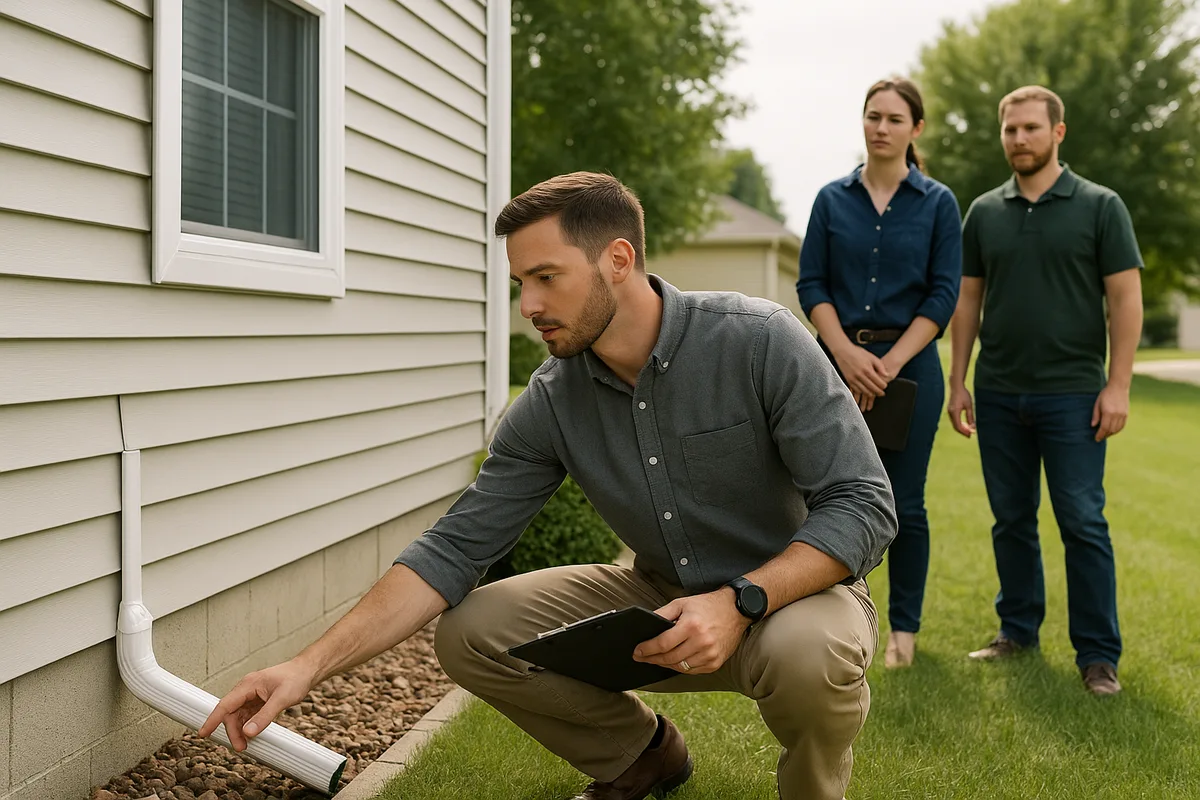
Pre-Purchase Property Evaluation
For homebuyers, flow accumulation analysis of a prospective property can reveal drainage risks that aren't apparent during a sunny-day showing. A property that looks perfectly dry in July might sit at the convergence of multiple flow paths that deliver massive runoff volumes during spring storms. Understanding the flow accumulation patterns before you buy allows you to factor drainage remediation costs into your purchase decision — or walk away from a property with intractable drainage problems.
Common Misconceptions About Drainage Modeling
As flow accumulation analysis becomes more accessible, several misconceptions have emerged that are worth addressing directly.
"My Property Is Flat, So Water Doesn't Flow"
This is perhaps the most dangerous misconception in residential drainage. There is no such thing as a truly flat property. Even surfaces that appear level have subtle grade variations — often just 1-3 inches across 50 feet — that completely control drainage patterns. On genuinely low-gradient sites, these tiny elevation differences become even more important because water moves slowly and has more time to infiltrate, pond, or find alternative paths.
Flow accumulation analysis on "flat" properties often reveals surprisingly well-defined drainage patterns created by imperceptible grade changes. These are the properties where drainage modeling terrain analysis provides the most value, because the flow paths are completely invisible to the eye but absolutely real in their effects.
"Water Always Flows Toward the Street"
Many homeowners assume their property drains toward the street because that's how it was designed. While proper site grading should direct water toward the street or designated drainage easements, reality often diverges from design. Soil settlement, landscape modifications, tree root growth, and additions or patios can alter grades over time. Flow accumulation analysis based on current elevation data reveals where water actually flows today, not where it was supposed to flow when the house was built 20 years ago.
"I Only Need to Worry About My Property"
Drainage doesn't respect property lines. Your lot exists within a larger watershed, and water from uphill properties, streets, and common areas may flow across your land. Effective drainage analysis must consider the broader topographic context. A flow accumulation model that stops at your property boundary will miss potentially significant off-site contributions that affect your drainage conditions.
"More Drains Are Always Better"
Installing drainage infrastructure without understanding flow accumulation patterns often leads to redundant or conflicting systems. Two French drains installed parallel to each other, both intercepting the same flow path, provide little additional benefit over a single properly sized drain. Flow accumulation analysis identifies the minimum number of intervention points needed to manage drainage effectively, saving money and reducing unnecessary disruption to your landscape.
The Future of Residential Drainage Intelligence
The tools and data driving flow accumulation analysis continue to improve rapidly, and the implications for residential drainage management are significant.
National LiDAR coverage is expanding steadily through the USGS 3DEP initiative, meaning high-resolution elevation data is becoming available for areas that previously had only coarse coverage. As this data proliferates, flow accumulation analysis will become a standard component of home inspections, real estate transactions, and drainage contractor proposals rather than a specialized service.
Drone-based LiDAR and photogrammetry are also making it possible to capture ultra-high-resolution elevation data for individual properties at reasonable cost. A drone survey of a residential lot can produce elevation models at 2-5 centimeter resolution — detailed enough to capture the lip of a patio, the crown of a sidewalk, or the subtle settling around a foundation. Flow accumulation models built on this data achieve a level of precision that was unimaginable even a decade ago.
Machine learning and AI are beginning to enhance drainage modeling by improving depression filling algorithms, better predicting infiltration behavior across different soil types, and automating the identification of drainage infrastructure (pipes, culverts, catch basins) that affects surface flow patterns. These advances will make flow accumulation analysis faster, more accurate, and more accessible.
At Low Point Labs, we're at the forefront of applying these technologies to residential drainage intelligence. Our approach combines high-resolution flow accumulation drainage analysis with practical, property-specific recommendations that homeowners and contractors can act on immediately. We believe that every property owner deserves to understand how water moves across their land — and flow accumulation is the foundation of that understanding.
If you're dealing with drainage issues, planning a landscaping project, or simply want to understand your property's drainage patterns before problems develop, explore Low Point Labs' drainage assessment services. Our topographic drainage intelligence gives you the data-driven insights you need to protect your property, make informed decisions, and solve drainage problems at their source — not just their symptoms.
Get Your Drainage Intelligence Report™
Start a free trial and generate reports on demand.
Frequently Asked Questions
Related Articles
How to Analyze a Property's Natural Flow Paths: A Complete Guide
How to Train Teams to Assess Drainage Sites Consistently Every Time