Runoff Calculations Using the Rational Method: A Complete Guide
When it comes to designing drainage systems, sizing culverts, or simply understanding how much water your property needs to handle during a storm, the rational method stands as one of the most widely used and enduring tools in hydrology. Developed in the mid-19th century and refined over more than 150 years of engineering practice, this straightforward approach to runoff calculation gives engineers, contractors, and informed homeowners a reliable way to estimate peak runoff from a given drainage area. Whether you're planning a French drain installation, evaluating your property's grading, or working with a contractor on a stormwater management plan, understanding the Q=CIA formula is an invaluable skill.
At Low Point Labs, we use topographic drainage intelligence to help homeowners understand exactly where water goes on their property — and how much of it they should expect. The rational method is one of the foundational tools that informs those assessments. In this comprehensive guide, we'll walk through every component of the formula, explain how to select the right values, work through real-world examples, and discuss when this method is appropriate (and when it isn't).
What Is the Rational Method?
The rational method is a formula-based approach for estimating peak stormwater runoff — the maximum rate of water flow — from a drainage area during a rainfall event. It was first introduced by Irish engineer Thomas Mulvany in 1851 and later popularized in the United States by Emil Kuichling in 1889. Despite its age, it remains the go-to method for small watershed hydrology in municipal engineering codes, stormwater ordinances, and residential drainage design across North America.
The core premise of the rational method is elegantly simple: if rain falls on a surface at a steady rate, the peak runoff from that surface will eventually equal the rate of rainfall multiplied by the area, adjusted for how much of that rain actually becomes runoff versus being absorbed into the ground. This equilibrium condition — where the entire drainage area is contributing runoff to the outlet point — is the basis for the calculation.
The rational method is considered most accurate for drainage areas under 200 acres (approximately 80 hectares), though many jurisdictions limit its application to areas under 20 or even 10 acres. For residential properties, which typically range from a fraction of an acre to a few acres, the method is ideally suited. Its simplicity makes it accessible, but selecting the right input values requires knowledge and judgment.
Get Your Drainage Intelligence Report™
Start a free trial and generate reports on demand.
The Q=CIA Formula Explained
The rational method is expressed as a single, elegant equation:
Q = C × I × A
Where:
- Q = Peak runoff rate (cubic feet per second, or cfs)
- C = Runoff coefficient (dimensionless, ranging from 0 to 1)
- I = Rainfall intensity (inches per hour)
- A = Drainage area (acres)
When using these specific units — inches per hour for intensity and acres for area — the conversion factor works out to approximately 1.008, which is close enough to 1.0 that engineers treat the equation as dimensionally consistent without a conversion constant. This is one of the elegant features of the Q=CIA formula: the units essentially cancel out, giving you a direct answer in cubic feet per second.
Let's break down each variable in detail.
The Runoff Coefficient (C)
The runoff coefficient represents the fraction of rainfall that becomes surface runoff. A value of C = 1.0 means 100% of the rain runs off (think of a perfectly sealed parking lot), while C = 0.0 would mean all rainfall is absorbed (a theoretical impossibility for any real surface during significant rain). In practice, C values for residential properties typically range from 0.30 to 0.70, depending on the mix of impervious and pervious surfaces.
Here are commonly used runoff coefficients for residential applications:
| Surface Type | Runoff Coefficient (C) |
|---|---|
| Rooftops | 0.75 – 0.95 |
| Asphalt/concrete driveways | 0.85 – 0.95 |
| Gravel driveways | 0.50 – 0.70 |
| Lawns (sandy soil, flat <2%) | 0.05 – 0.10 |
| Lawns (sandy soil, steep >7%) | 0.15 – 0.20 |
| Lawns (clay soil, flat <2%) | 0.13 – 0.17 |
| Lawns (clay soil, steep >7%) | 0.25 – 0.35 |
| Wooded areas | 0.05 – 0.25 |
| Single-family residential (1/3 acre lots) | 0.40 – 0.55 |
| Single-family residential (1/2 acre lots) | 0.35 – 0.50 |
| Single-family residential (1 acre lots) | 0.30 – 0.45 |
For properties with multiple surface types — which is essentially every residential lot — you calculate a weighted composite runoff coefficient. This is done by multiplying each sub-area by its respective C value, summing the results, and dividing by the total area.
Rainfall Intensity (I)
Rainfall intensity is the rate of rainfall in inches per hour for a specific storm duration and return period (also called recurrence interval). This is not simply the heaviest rain you've ever seen; it's a statistically derived value based on decades of precipitation records.
Two parameters define the rainfall intensity you'll use:
Return period (recurrence interval): This is the statistical probability of a storm occurring in any given year. A 10-year storm has a 10% chance of occurring in any single year; a 100-year storm has a 1% chance. Most residential drainage is designed for the 10-year or 25-year storm, while critical infrastructure may use the 100-year storm.
Storm duration: In the rational method, the critical storm duration equals the time of concentration (Tc) — the time it takes for water to travel from the most hydraulically distant point in the drainage area to the outlet. This is because the peak runoff occurs when the entire area is contributing flow simultaneously.
Rainfall intensity data is available through NOAA Atlas 14, which provides precipitation frequency estimates for any location in the United States. You can enter coordinates or a station name and retrieve intensity-duration-frequency (IDF) data specific to your area.
Drainage Area (A)
The drainage area is the total land area that contributes runoff to the point of interest (the outlet or design point), measured in acres. Determining the correct drainage area requires understanding the topography — where ridgelines and drainage divides exist, and which direction water flows across the landscape.
This is where topographic analysis becomes critical. A property's drainage area may not align with its property boundaries. Uphill neighbors may contribute runoff onto your lot, or portions of your lot may drain to different outlets. Accurate delineation of the drainage area is essential for a meaningful runoff calculation.
Calculating Time of Concentration
The time of concentration (Tc) is arguably the most judgment-intensive component of the rational method. It directly determines the rainfall intensity you'll use: a shorter Tc means higher intensity (shorter, more intense storms produce peak flow), which means higher peak runoff. Getting Tc wrong can lead to significantly over- or under-designed drainage systems.
Time of concentration represents the travel time for water to move from the hydraulically most remote point in the watershed to the outlet. This travel path typically includes multiple flow regimes:
Sheet Flow
Sheet flow is the initial, thin layer of water flowing over land surfaces before it concentrates into defined channels. The NRCS (Natural Resources Conservation Service) limits sheet flow length to a maximum of 300 feet. Travel time for sheet flow is calculated using Manning's kinematic solution:
Tt = [0.007 × (n × L)^0.8] / [(P₂)^0.5 × S^0.4]
Where:
- Tt = travel time (hours)
- n = Manning's roughness coefficient for the surface
- L = flow length (feet), maximum 300 feet
- P₂ = 2-year, 24-hour rainfall depth (inches)
- S = slope of the hydraulic grade line (land slope, ft/ft)
Typical Manning's n values for sheet flow include 0.011 for smooth asphalt, 0.15 for short grass prairie, 0.24 for dense grass, and 0.40 for wooded areas with heavy ground litter.
Shallow Concentrated Flow
After 300 feet (or sooner on steeper slopes), sheet flow typically concentrates into shallow, unchannelized flow paths — think of the subtle swales and low points in a yard where you can see water moving in a general direction. Velocity for shallow concentrated flow is estimated using simplified equations based on surface type and slope:
- Paved surfaces: V = 20.3282 × S^0.5
- Unpaved surfaces: V = 16.1345 × S^0.5
Where V is velocity in feet per second and S is slope in ft/ft. Travel time is then simply length divided by velocity.
Channel Flow
If the flow path includes defined channels — ditches, swales, storm sewers, or natural streams — Manning's equation is used to calculate velocity:
V = (1.49 / n) × R^(2/3) × S^(1/2)
Where R is the hydraulic radius (cross-sectional area divided by wetted perimeter) and n is Manning's roughness coefficient for the channel.
The total time of concentration is the sum of travel times across all flow segments. For typical residential lots, Tc values often range from 5 to 20 minutes. Most jurisdictions impose a minimum Tc of 5 minutes to avoid unrealistically high rainfall intensities.
Step-by-Step Runoff Calculation Example
Let's work through a complete stormwater runoff calculation using the rational method for a realistic residential scenario.
Scenario
A homeowner in Charlotte, North Carolina has a 0.45-acre lot. They want to size a drainage pipe at the low point of their property to handle the 10-year storm. The lot includes:
- House rooftop: 2,200 sq ft (0.050 acres)
- Concrete driveway and walkways: 1,500 sq ft (0.034 acres)
- Lawn (clay soil, moderate slope ~4%): 15,900 sq ft (0.365 acres)
The longest flow path is approximately 250 feet from the back property line to the drainage point, with an average slope of 3%.
Step 1: Calculate the Composite Runoff Coefficient
Using values from our coefficient table:
- Roof: C = 0.90, Area = 0.050 acres
- Driveway/walks: C = 0.90, Area = 0.034 acres
- Lawn (clay, moderate slope): C = 0.22, Area = 0.365 acres
Composite C = [(0.90 × 0.050) + (0.90 × 0.034) + (0.22 × 0.365)] / 0.449
Composite C = [0.045 + 0.031 + 0.080] / 0.449
Composite C = 0.156 / 0.449
Composite C = 0.35
Step 2: Determine Time of Concentration
For this relatively small lot with a 250-foot flow path, we'll estimate Tc using the sheet flow and shallow concentrated flow methods.
Sheet flow (first 200 feet across lawn):
- n = 0.15 (short grass)
- L = 200 ft
- P₂ = 3.6 inches (Charlotte 2-year, 24-hour rainfall from NOAA Atlas 14)
- S = 0.03 ft/ft
Tt = [0.007 × (0.15 × 200)^0.8] / [(3.6)^0.5 × (0.03)^0.4]
Tt = [0.007 × (30)^0.8] / [1.897 × 0.1633]
Tt = [0.007 × 18.49] / [0.3098]
Tt = 0.1294 / 0.3098
Tt (sheet flow) = 0.42 hours = 25.1 minutes
Shallow concentrated flow (remaining 50 feet, unpaved):
- V = 16.1345 × (0.03)^0.5 = 16.1345 × 0.1732 = 2.79 ft/s
- Tt = 50 / (2.79 × 60) = 0.30 minutes
Total Tc = 25.1 + 0.3 = 25.4 minutes ≈ 25 minutes
Step 3: Determine Rainfall Intensity
Using NOAA Atlas 14 data for Charlotte, NC, the 10-year, 25-minute rainfall intensity is approximately 4.8 inches per hour.
Step 4: Apply the Q=CIA Formula
Q = C × I × A
Q = 0.35 × 4.8 × 0.449
Q = 0.75 cfs
This means the drainage system at the low point needs to handle a peak flow rate of approximately 0.75 cubic feet per second during a 10-year storm. Converting to gallons per minute (1 cfs ≈ 449 GPM), that's approximately 337 gallons per minute — a substantial flow rate that underscores why proper drainage design matters.
Step 5: Size the Drainage Pipe
Using Manning's equation for a circular pipe flowing full with n = 0.012 (smooth HDPE) and a slope of 1%, a 6-inch diameter pipe can carry approximately 0.55 cfs, while an 8-inch pipe can handle about 1.2 cfs. For our 0.75 cfs requirement, an 8-inch pipe would be the appropriate choice, providing adequate capacity with a safety margin.
Selecting the Right Runoff Coefficient
The runoff coefficient is where the most engineering judgment enters the rational method. While tables provide ranges, selecting the right value requires consideration of several factors beyond just surface type.
Soil Type and Hydrologic Soil Group
The NRCS classifies soils into four hydrologic soil groups (A through D) based on their infiltration rates:
- Group A: High infiltration rate (sandy soils) — lowest runoff potential
- Group B: Moderate infiltration rate (loamy soils)
- Group C: Slow infiltration rate (clay loam soils)
- Group D: Very slow infiltration rate (heavy clay, high water table) — highest runoff potential
You can determine your property's soil group using the NRCS Web Soil Survey, which provides detailed soil maps and hydrologic classifications for any location in the United States. A lawn on Group A soil might warrant a C value of 0.10, while the same lawn on Group D soil could justify C = 0.30 or higher.
Antecedent Moisture Conditions
Soil that is already saturated from previous rainfall will produce significantly more runoff than dry soil. While the standard rational method doesn't explicitly account for antecedent moisture, some jurisdictions require adjusting the C value upward for conservative design. A common approach is to multiply C by a factor of 1.1 to 1.25 for saturated conditions, capping the result at 1.0.
Slope Effects
Steeper slopes produce more runoff because water moves faster across the surface, leaving less time for infiltration. This is why coefficient tables show higher C values for steeper terrain. A lawn sloped at 2% might have C = 0.15, while the same lawn at 8% could have C = 0.30.
Future Development Considerations
Smart drainage design anticipates changes. If you're planning to add a patio, expand a driveway, or build an accessory structure, consider using the future impervious coverage in your runoff calculation. Many municipalities require developers to use post-development C values when designing stormwater infrastructure.
Limitations and When to Use Alternative Methods
While the rational method is powerful and practical, it has important limitations that every user should understand. Recognizing these boundaries ensures you apply the method appropriately and seek more sophisticated analysis when warranted.
Drainage Area Size Limits
The rational method assumes uniform rainfall distribution over the entire drainage area and a single peak flow rate. These assumptions break down as the drainage area grows larger. Most engineering references recommend limiting the method to areas under 200 acres, and many local codes restrict it to 20 acres or less. For residential properties, this is rarely a concern — but if you're analyzing a subdivision or large rural parcel, consider alternative methods.
No Volume Estimation
The rational method calculates peak runoff rate (flow at a single instant), not total runoff volume over the course of a storm. If you need to size a detention pond or rain garden — which must store a volume of water — you'll need a different approach such as the SCS/NRCS Curve Number method or a hydrograph-based analysis. The EPA's Storm Water Management Model (SWMM) is a free tool that can perform these more complex analyses.
Steady-State Rainfall Assumption
The rational method assumes rainfall intensity is constant throughout the storm duration equal to Tc. Real storms have variable intensity — they ramp up, peak, and taper off. For small drainage areas with short times of concentration, this assumption is reasonable. For larger areas with longer Tc values, the assumption becomes less valid.
No Hydrograph Generation
Related to the volume limitation, the rational method produces a single peak flow number, not a flow-versus-time hydrograph. If you need to understand how flow builds and recedes — important for flood routing, detention design, or downstream impact analysis — you'll need methods that generate hydrographs, such as the SCS Unit Hydrograph method or computer-based modeling.
Alternative Methods for Larger or Complex Projects
When the rational method isn't sufficient, consider these alternatives:
- SCS/NRCS Curve Number Method: Uses soil type, land cover, and antecedent moisture to estimate runoff volume and peak flow for larger watersheds
- Modified Rational Method: Extends the rational method to generate a simplified hydrograph for detention pond sizing
- TR-55: An NRCS methodology for urban hydrology that handles complex watersheds with multiple sub-areas
- Computer models (SWMM, HEC-HMS): Sophisticated tools for continuous simulation and complex drainage networks
Practical Applications for Homeowners
Understanding the rational method isn't just an academic exercise — it has direct, practical applications for homeowners dealing with drainage challenges.
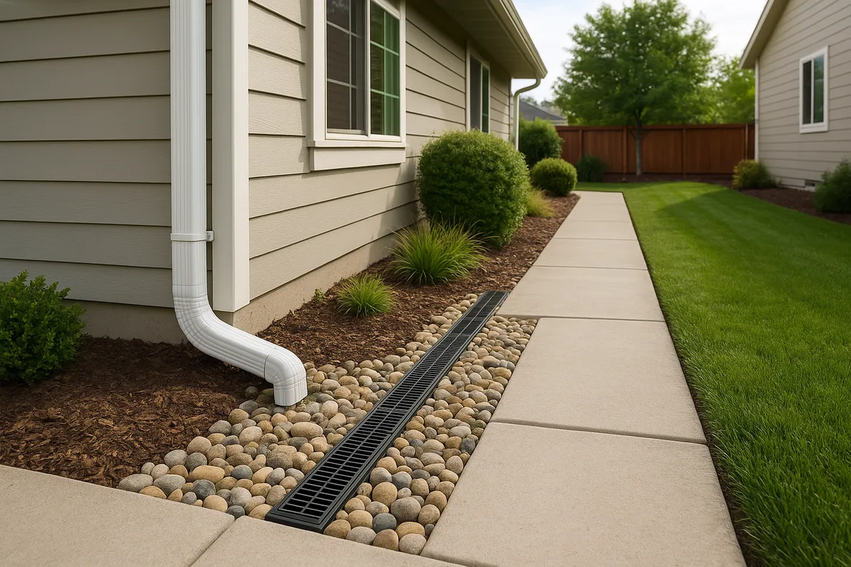
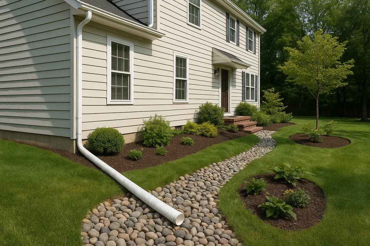
Sizing Yard Drains and Pipes
The most common residential application is determining what size pipe or drain you need to carry water away from problem areas. As our example demonstrated, even a modest half-acre lot can generate nearly 340 gallons per minute of peak flow during a 10-year storm. Undersized pipes — the 4-inch corrugated tubes commonly sold at hardware stores — simply cannot handle this volume. A proper stormwater runoff calculation prevents the frustration and expense of installing drainage that fails during the storms when you need it most.
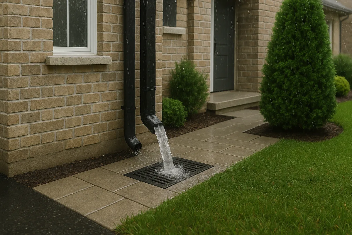
Evaluating Gutter and Downspout Capacity
Rooftops are the highest-coefficient surfaces on most residential properties, with C values of 0.90 to 0.95. A 2,000 square foot roof section during a 10-year storm with 5 in/hr intensity generates:
Q = 0.90 × 5.0 × 0.046 = 0.207 cfs ≈ 93 GPM
A standard 5-inch K-style gutter can handle roughly 10-15 GPM depending on slope. This means a single gutter run serving a large roof section may be overwhelmed, causing overflow that dumps water directly against the foundation. Understanding these numbers helps homeowners have informed conversations with gutter installers and contractors.
Justifying Drainage Improvements to Neighbors or HOAs
When drainage disputes arise — and they frequently do — having quantitative data strengthens your position. If an uphill neighbor's new construction has increased the C value of their lot from 0.35 to 0.65, you can demonstrate the measurable increase in runoff flowing onto your property. This transforms a subjective complaint into an objective, engineering-based discussion.
Checking Contractor Proposals
When a contractor proposes a drainage solution, you can verify their sizing by running the rational method yourself. If they're proposing a 4-inch pipe where the math calls for 8 inches, that's a red flag worth discussing. Conversely, if their proposal seems oversized, you can understand the safety factor they've built in and evaluate whether the additional cost is justified.
Understanding Municipal Stormwater Requirements
Many municipalities require stormwater management plans for any construction that adds impervious surface. These plans frequently use the rational method as the basis for drainage design. Understanding the methodology helps homeowners participate meaningfully in the permitting process and evaluate whether proposed stormwater controls are adequate.
Advanced Considerations and Composite Watersheds
Real-world drainage problems rarely involve a single, uniform surface draining to a single point. Most residential properties involve composite conditions that require additional analysis techniques.
Weighted Runoff Coefficients for Mixed Land Use
As demonstrated in our example, most properties require a composite C value. The weighted average approach is straightforward:
C_composite = Σ(Cᵢ × Aᵢ) / Σ(Aᵢ)
However, this averaging can mask important local conditions. A property might have a composite C of 0.40, but if all the impervious surfaces (C = 0.90) drain to a single point while the pervious areas drain elsewhere, the effective C at that collection point is much higher. Always consider actual flow paths, not just property-wide averages.
Multiple Drainage Areas on a Single Property
Many properties have more than one drainage area — the front yard may drain to the street, the back yard to a rear swale, and the side yard to a neighbor's property. Each drainage area should be analyzed independently using its own C value, Tc, and rainfall intensity. Combining them into a single calculation would produce meaningless results.
The Effect of Climate Change on Design Storms
Rainfall patterns are shifting. Many regions are experiencing more intense short-duration storms, even if total annual precipitation hasn't changed dramatically. Some forward-thinking jurisdictions are updating their design storm criteria or applying climate change multipliers to traditional IDF data. When performing a runoff calculation for a drainage improvement that should last 20-30 years, consider using a higher return period than the minimum required — designing for the 25-year storm instead of the 10-year storm provides a buffer against increasing rainfall intensity.
Accounting for Connected Impervious Areas
Not all impervious surfaces contribute equally to runoff. A roof that discharges onto a large lawn area (disconnected impervious surface) produces less effective runoff than a roof connected directly to a driveway that flows to the street (connected impervious surface). Some engineers reduce the effective C value for disconnected impervious areas to reflect the additional infiltration opportunity. A common adjustment is to use the pervious surface C value for the portion of impervious area that drains onto pervious surfaces, provided the pervious area is large enough to absorb the additional flow.
Frequency Factors for Higher Return Periods
Some engineering references apply a frequency factor (Cf) to the runoff coefficient when designing for storms with return periods greater than 10 years. This accounts for the observation that during extreme storms, soil becomes saturated more quickly and a higher percentage of rainfall becomes runoff. Typical frequency factors include:
- 25-year storm: Cf = 1.10
- 50-year storm: Cf = 1.20
- 100-year storm: Cf = 1.25
The adjusted formula becomes Q = Cf × C × I × A, with the stipulation that the product Cf × C should not exceed 1.0.
Putting It All Together: From Calculation to Action
The rational method transforms the abstract question of "how much water does my property need to handle?" into a concrete, quantifiable answer. That answer drives every downstream decision — pipe sizes, swale dimensions, rain garden volumes, and grading specifications.
But the formula is only as good as its inputs. Accurate peak runoff estimation requires precise drainage area delineation, appropriate coefficient selection based on actual soil and surface conditions, and locally calibrated rainfall data. This is where professional topographic analysis becomes essential.
At Low Point Labs, we specialize in providing the foundational data that makes these calculations accurate and actionable. Our drainage intelligence reports identify your property's drainage areas, flow paths, low points, and contributing slopes — the exact information needed to apply the rational method with confidence. Rather than guessing at drainage area boundaries or estimating slopes by eye, our topographic analysis gives you precise measurements derived from high-resolution elevation data.
Whether you're troubleshooting a flooded basement, planning a landscaping project, or evaluating a contractor's drainage proposal, understanding the Q=CIA formula empowers you to make informed decisions. And when you need the topographic data to feed that formula, Low Point Labs is here to help. Explore our drainage assessment services to get the precise elevation and flow data your property deserves.
Get Your Drainage Intelligence Report™
Start a free trial and generate reports on demand.
Frequently Asked Questions
Related Articles
Understanding Precipitation Intensity and Its Impact on Drainage Design
How to Calculate Runoff for Residential Drainage Projects